It has been two weeks since the closure of the reservoir and the water levels are dropping quickly. The south end of the reservoir down to a stream. The bridge area is starting to show in the middle as well.
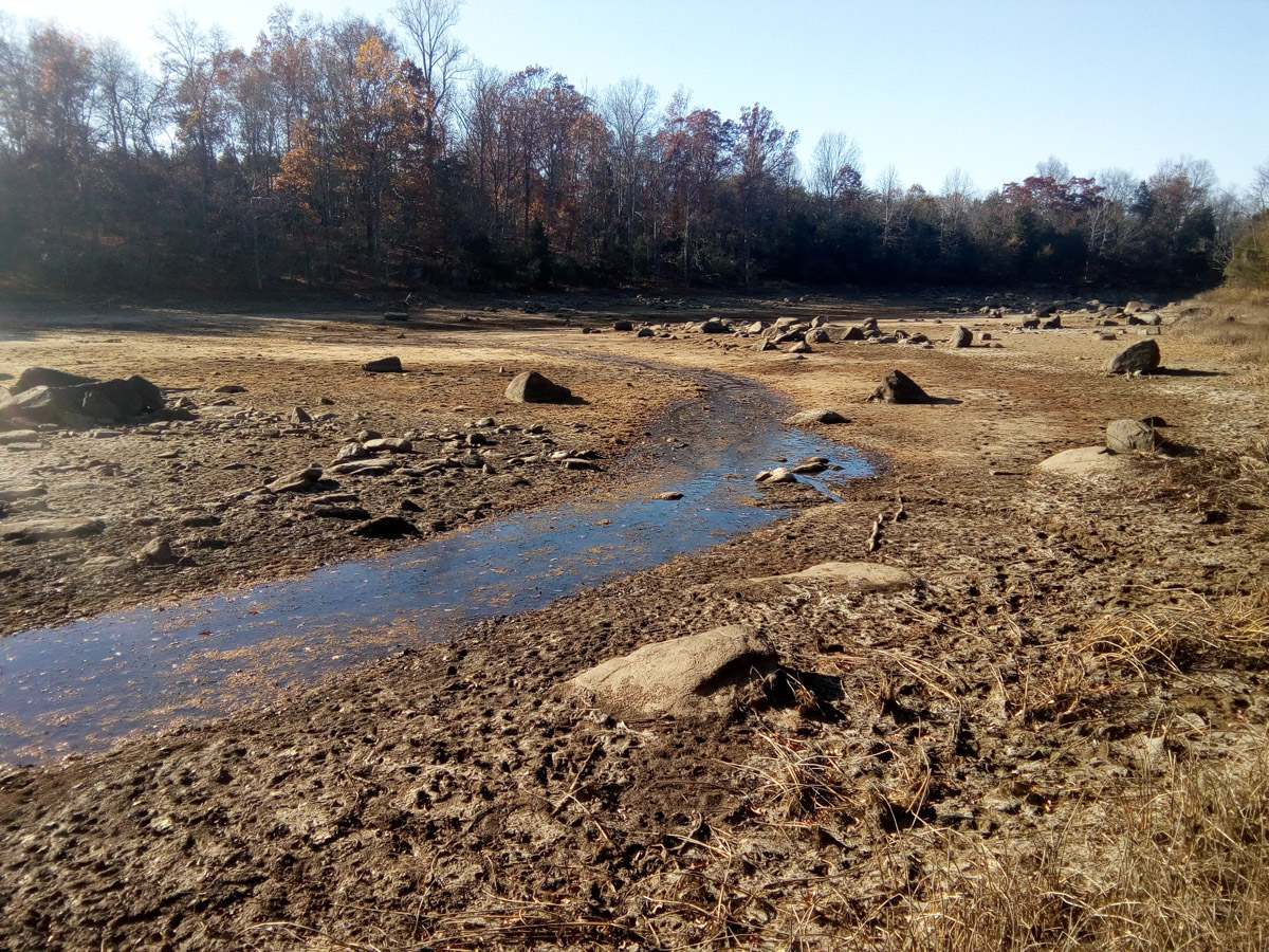

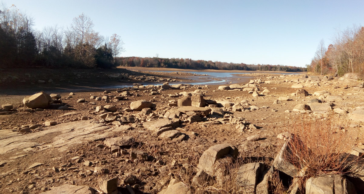


It has been two weeks since the closure of the reservoir and the water levels are dropping quickly. The south end of the reservoir down to a stream. The bridge area is starting to show in the middle as well.
Great pictures – Thanks
Can people still hike the trails around it? How do we access the hiking trails? Same parking lot? I drove to gravel parking lot a couple of weeks ago about 7:30 am on a workday. Gate was closed.
Yes, the trails are still open, the parking lot at Mt. Hope road is supposed to be open from dawn to dusk but I’ve noticed as well that it has been closed several times I’ve been out. If you can’t find somewhere to park at Mt. Hope, Alford Rd. might be an option though finding the trail is a bit harder from that location as it is not an officially sanctioned entrance.
What happen to all the fish ?
Even though the reservoir is “drained” there are still large deep areas in the middle, the fish seem to migrate there. During the last draw down, there was little impact to the fish according to the population tests.